
ODD / Explore03 / Projects
Research & visualization
Compare images with a map, trace data back to its sources and compare algorithms. These research prototypes explore how an interface can help people work through complex material.
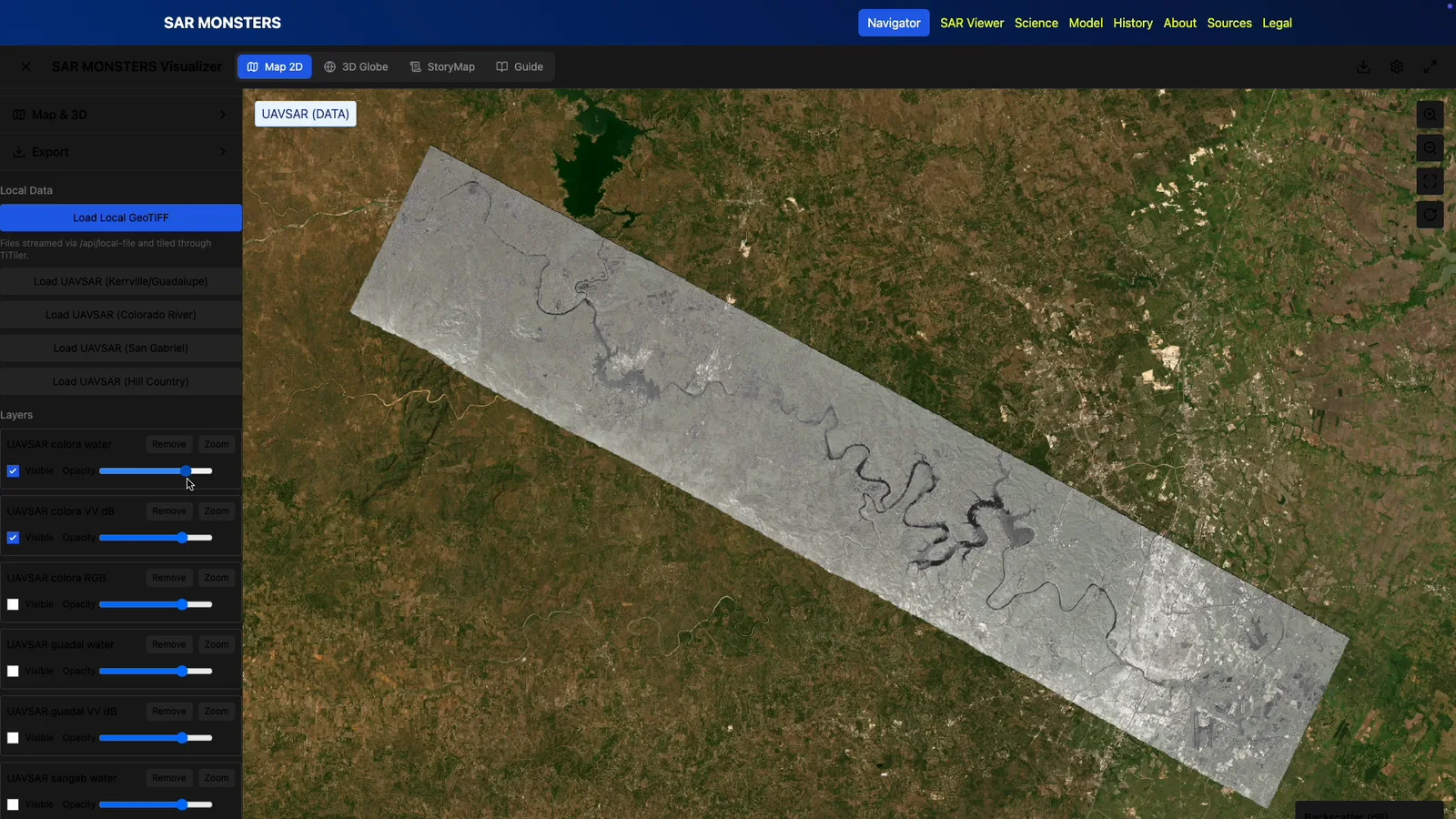
Maps · Satellite imagery
SAR Monsters
SAR imagery for flood assessment and evacuation planning
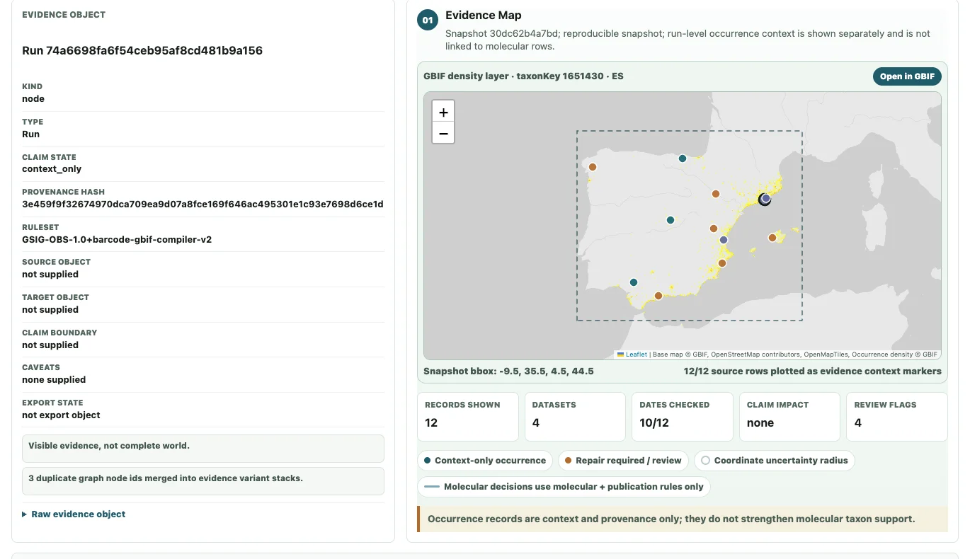
Research · Data visualization
Evidence Atlas
From a sequence to a map and traceable evidence
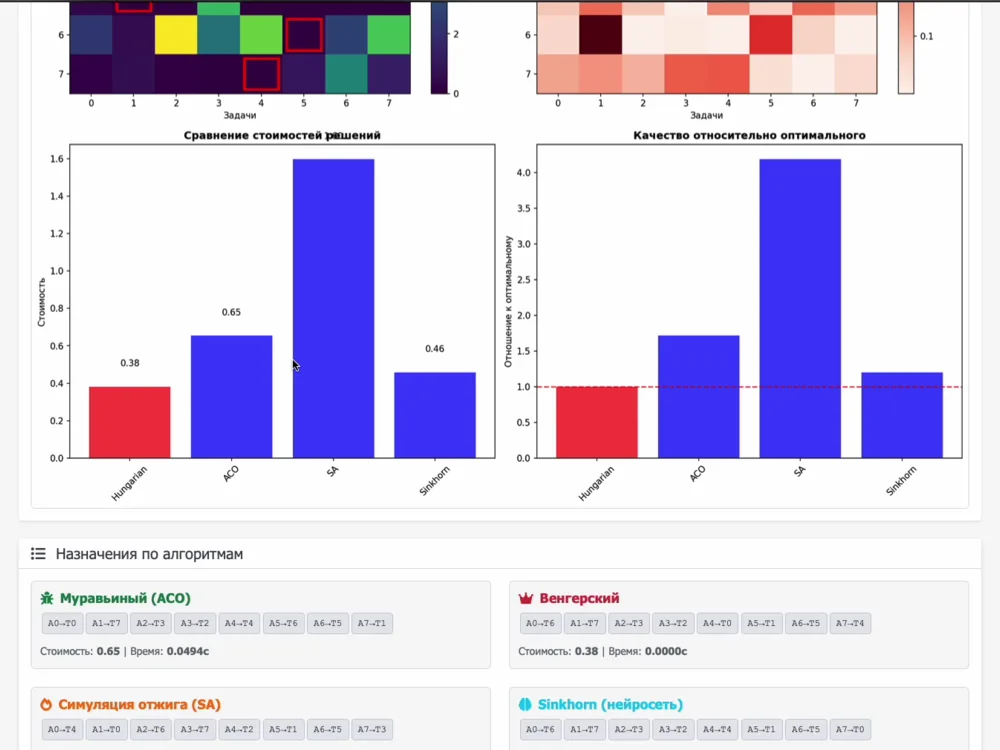
Interactive algorithms
ANTS
Compare algorithms on the same assignment problem
Each case describes our contribution, other creators’ roles and the project’s current stage.